


Recording Thousands of Peru’s Temples Using Drones (Video)
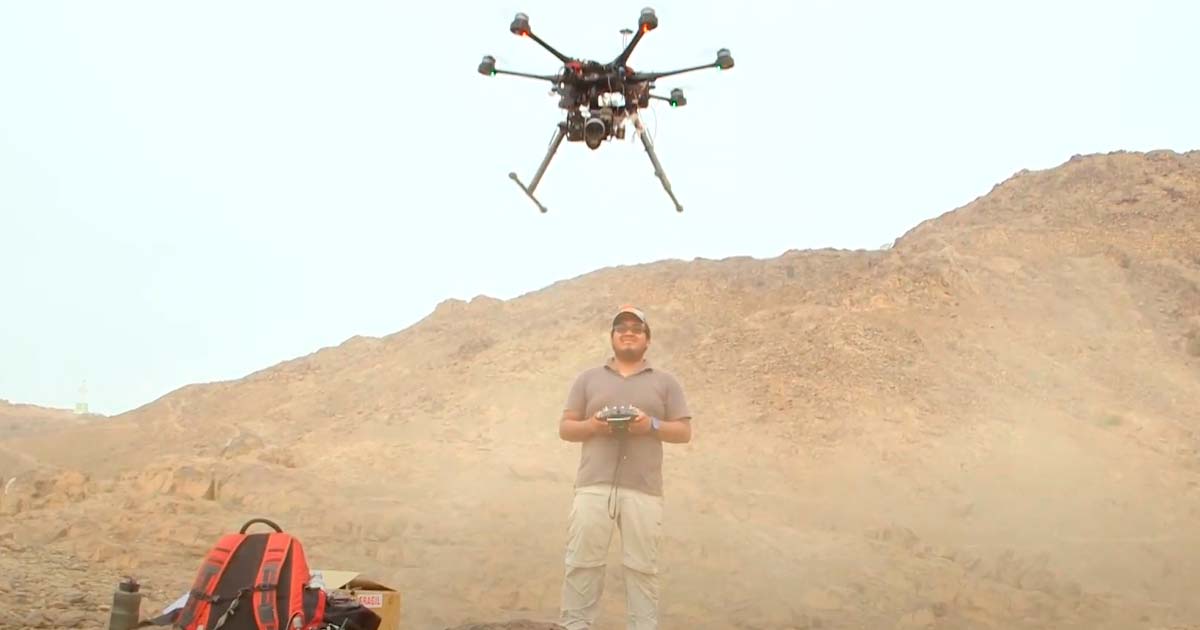
In a race against time, archaeologists armed with a fleet of drones have been tirelessly working to map the legal boundaries of Peru's ancient ruins for the last few years. These unregistered treasures, numbering around 100,000, face a grave threat from burgeoning development and speculation. Detailed maps, including land prices and population data, are the linchpin in the battle to protect these historical wonders. Utilizing specialized equipment and consumer technology, the team gathers topographic points with astonishing efficiency.
While it once took thousands of painstaking hours to collect data, drones can now achieve the same feat in a mere seven minutes, revealing every stone's secrets. The urgency is palpable with shockingly few sites currently legally registered. With electoral promises of land distribution adding to the pressure every year, the Ministry of Culture's mission grows more critical by the day. As they confront the relentless march of progress, these archaeologists are the unsung heroes of a story that transcends time and speaks to the importance of preserving our shared human history.
- From Turning Stones to Launching Drones: Archaeological Surveys Take Flight
- Ancient Pyramid Cities of Peru: A Catalogue of Swift Decline
Top image: Archaeologists use drones to map Peru’s ancient sites. Source: YouTube Screenshot / The New York Times.
