


16th-Century Maps Reveal 1800 BC Ice Free Greenland And Antarctica
There is a large body of maps of the Americas which cannot be explained by known explorations. Mercator’s 1569 World Map shows all of Greenland without ice at its coasts. Finaeus’ 1531 World Map shows Antarctica without coastal ice, all Greenland without coastal ice and an ancient shoreline of Hudson Bay. No 16th-century explorer could have reached Antarctica and Northern Greenland during this time period, much less have seen them ice free at their coasts. Based on an analysis of historic rates of isostatic rebound in lower James Bay, it appears that the ancient surveys for these maps of Antarctica and Northern Greenland were made approximately 3,700 years ago, and that global warming following the last Ice Age was sufficient to result in the coasts of Antarctica and Greenland being ice free by 3,700 years ago.

Detail of Greenland of the 1569 Mercator World Map (Deriv: Author Public Domain)
Gerard Mercator states in the North American section of his 1569 World Map: “ The third aim that we had in view was to show what parts of the world were known to the ancients and to what extent, in order that the limits of ancient geography may not be unknown and that due honor may be paid to the earlier ages.” He then continues, after citing voyages mentioned by Pliny and Herodotus: “It is clear, then, that our continent is surrounded by the ocean, and that its extent was known to the ancients; and it is evident on their authority that it was in large part described. Plainly those persons are mistaken who make New India continuous with Asia.” (Feit, 1926).
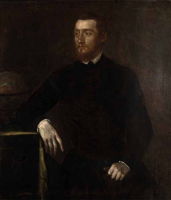
Workshop of Titian - Gerard Mercator (ca. 1550) (CC BY-SA 4.0)
The words “ our continent” refer to both North and South America, which are labeled on Mercator’s map “India Nova” or New India in the translation. And, based on this ancient knowledge, Mercator recognizes that North America was not part of Asia. Supporting Mercator’s statement are many well-known 16th-century maps of the Americas which cannot be explained as resulting from any known exploration by Europeans. Some notable examples are: the Waldseemuller World Map, 1507, and the Lenox Globe, 1510, showing the West coast of South America. Balboa, the first European to see the Pacific from the Americas, only got there in 1513 after crossing Panama. Magellan sailed by the southern tip of South America in 1521, but never saw most of its West coast.
Like this Preview and want to read on? You can! JOIN US THERE ( with easy, instant access ) and see what you’re missing!! All Premium articles are available in full, with immediate access.
For the price of a cup of coffee, you get this and all the other great benefits at Ancient Origins Premium. And - each time you support AO Premium, you support independent thought and writing.
Les Trager is a retired lawyer with an interest in 13th to 17th European Maps which cannot be explained by European scientific knowledge for that time period or by known European explorations. He is a member of the New York Map Society, Washington Map Society and the Explorers Club. His previous book was Henry Hudson – Cree History and Ancient Maps. He is the author of Ancient Explorers and Their Amazing Maps
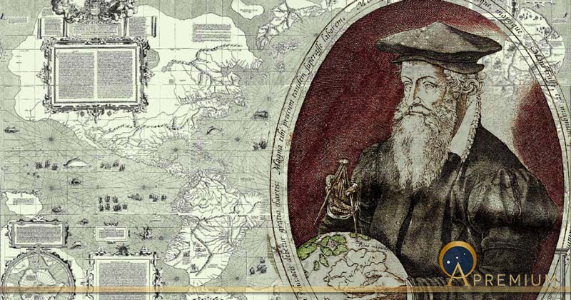
Top Image: Mercator world map Public Domain and Gerardus Mercator of Rupelmonde at the age of 62 by Frans Hogenburg (1574) (Public Domain)
By: Les Trager