

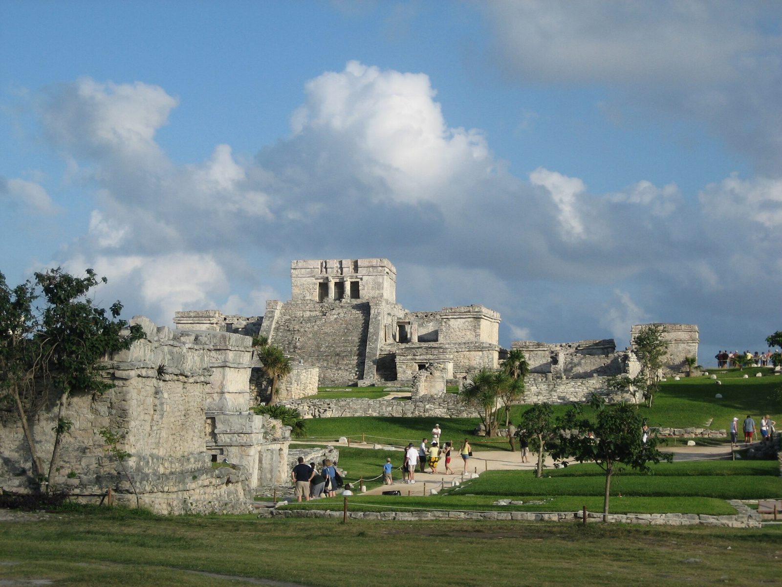
Photo: Gennaro Conte, CC BY-SA 4.0 via Wikimedia Commons Source
A walled Maya port city on cliffs above the Caribbean. It is associated with the Maya civilization.
- Country
- Mexico
- Region
- Americas
- Period
- about AD 1200 to 1500
- Kind of site
- Archaeological site
- Period or culture
- Maya civilization
- Located in
- Tulum Municipality, Mexico
- Coordinates
- 20.2147° N, 87.4289° WWikipedia and Wikidata agree within 0.0 km
- Reference
- Wikidata Q725883
- Encyclopedia
- Wikipedia article
About this place
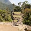
Tulum is the site of a pre-Columbian Mayan walled city which served as a major port for Coba, in the Mexican state of Quintana Roo. The ruins are situated on 12-meter-tall (39 ft) cliffs along the east coast of the Yucatán Peninsula on the Caribbean Sea. Tulum was one of the last cities built and inhabited by the Maya and achieved its greatest prominence between the 13th and 15th centuries. Maya continued to occupy Tulum for about 70 years after the Spanish began exploring Mexico, but the city was abandoned by the end of the 16th century. Tulum is one of the best-preserved coastal Maya sites, and today it is a popular site for tourists.
Adapted from the Wikipedia article Tulum (this version), lightly edited for style, under the CC BY-SA 4.0 license.





Recent comments