

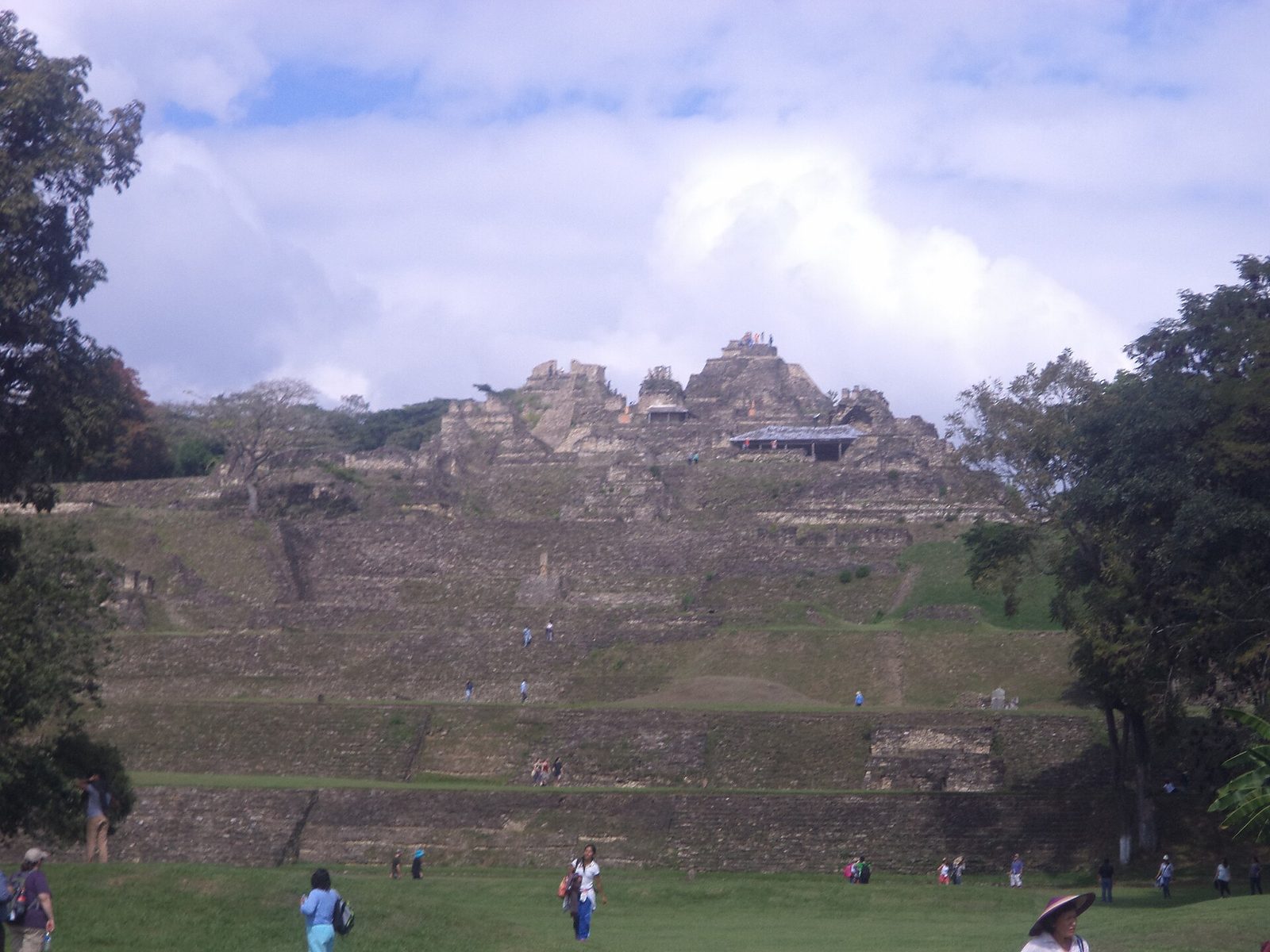
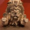
Photo: Dge, CC BY-SA 4.0 via Wikimedia Commons Source
A Maya city in Chiapas with a huge terraced acropolis. It is associated with the Maya culture and the Maya civilization.
- Country
- Mexico
- Region
- Americas
- Period
- about AD 200 to 900
- Kind of site
- Archaeological site
- Period or culture
- Maya culture, Maya civilization
- Located in
- Ocosingo Municipality, Mexico
- Coordinates
- 16.9012° N, 92.0097° WWikipedia and Wikidata agree within 0.0 km
- Reference
- Wikidata Q1042074
- Encyclopedia
- Wikipedia article
About this place
Tonina is a pre-Columbian archaeological site and ruined city of the Maya civilization located in what is now the Mexican state of Chiapas, some 13 km east of the town of Ocosingo. The site is medium to large, with groups of temple-pyramids set on terraces rising some 71 meters (233 ft) above a plaza, a large court for playing the Mesoamerican ballgame, and over 100 carved monuments, most dating from the 6th century through the 9th centuries AD, during the Classic period. Toniná is distinguished by its well preserved stucco sculptures and particularly by its in-the-round carved monuments, produced to an extent not seen in Mesoamerica since the end of the much earlier Olmec civilization. Toniná possesses one of the largest pyramids in Mexico; at 74 meters (243 ft) in height, it is taller than the Pyramid of the Sun at Teotihuacan.
Adapted from the Wikipedia article Toniná (this version), lightly edited for style, under the CC BY-SA 4.0 license.
Nearby places
Open in the Atlas →- Santa Elena Poco Uinic 45 km (28 mi)
- Chancalá 56 km (35 mi)
- Jolja' 58 km (36 mi)
- Palenque 65 km (40 mi)
- Chinikihá 69 km (43 mi)
- Plan de Ayutla 79 km (49 mi)






Recent comments