

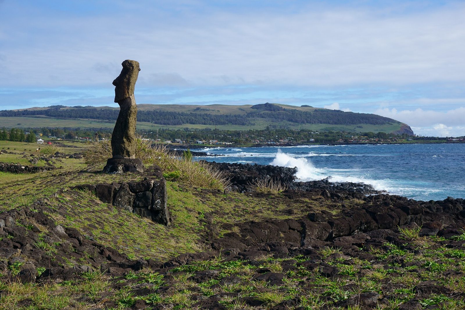
Photo: kallerna, CC BY-SA 4.0 via Wikimedia Commons Source
Easter Island, or Rapa Nui, is a remote Chilean island in the southeastern Pacific Ocean. Its Polynesian settlers carved nearly 1,000 moai statues, mostly between about AD 1250 and 1500. How its population changed before European contact is Disputed, and the island's national park is a UNESCO World Heritage Site.
A remote Pacific island with nearly 1,000 moai statues carved by the Rapa Nui. It is part of Insular Chile.
- Country
- Chile
- Region
- Oceania
- Period
- about AD 1250 to 1500 (moai)
- Kind of site
- Island
- Heritage status
- World Heritage Site
- Part of
- Insular Chile
- Located in
- Isla de Pascua, Chile
- Also known as
- Te pito o te kainga a Hau Maka
- Coordinates
- 27.1200° S, 109.3500° WWikipedia and Wikidata agree within 0.0 km
- UNESCO
- World Heritage site 715
- Reference
- Wikidata Q14452
- Encyclopedia
- Wikipedia article
About this place
Easter Island is an island and special territory of Chile in the southeastern Pacific Ocean, at the southeasternmost point of the Polynesian Triangle in Oceania. The island is renowned for its nearly 1,000 extant monumental statues, called moai, which were created by the early Rapa Nui people. In 1995, UNESCO named Easter Island a World Heritage Site, with much of the island protected within Rapa Nui National Park. Easter Island is also the only territory in Polynesia where Spanish is an official language. Experts differ on when the island's Polynesian inhabitants first reached the island. While many researchers cited evidence that they arrived around the year 800, a 2007 study provided compelling evidence suggesting their arrival was closer to 1200.
Adapted from the Wikipedia article Easter Island (this version), lightly edited for style, under the CC BY-SA 4.0 license.



Recent comments